Formidable Snowman Trek
29 nights / 30 days
Drukgyal Dzong Paro to Sephu Trongsa
May to June, September to October
Hard
Rinchen Zoe La Pass 5320m
Summary
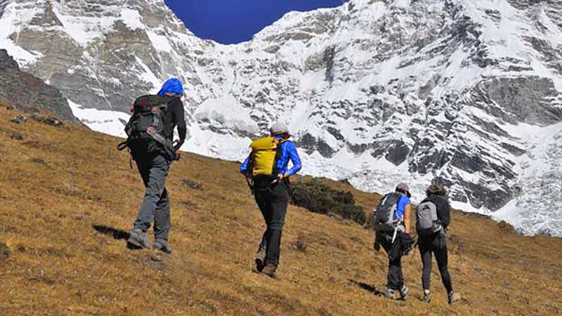
Billed as one of the most difficult treks in the world due to altitude, terrain and duration, passes through remote Lunana region along Bhutan-Tibet border.
Overview
Formidable Snowman Trek
Tour Itinerary
Day 1 Arrive Paro
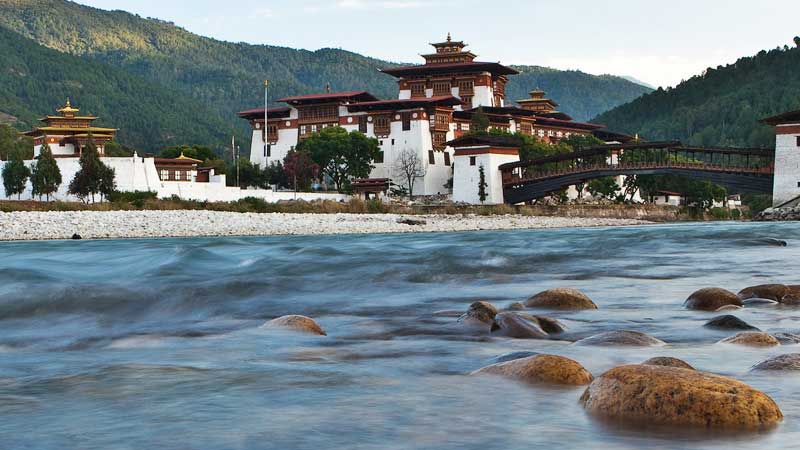
The flight to Paro crosses the Himalayan Mountains, affording spectacular views of the awesome peaks, including the sacred Jumolhari and Jichu Drake peaks in Bhutan. On arrival you will be greeted by the guide and transfer to the hotel. After lunch, you will visit the Ta Dzong, once a fortified lookout tower that is now the National Museum. The museum has wide assortment of ancient paintings, armors, philatelic display and “field of Buddhasâ€, which helps one to visualize while meditating. Then walk down the trail to visit the Rinpung Dzong meaning “fortress of the heap of jewels". Next visit Kichu Lhakhang, the oldest temple in the country. From there you will be taken to the Drugyal Dzong (Bhutan Victory Fort), which was built in 1646 to commemorate Bhutan's victory over Tibetan invaders during the 1600s. On a clear day you can see Mount Jumolhari, Bhutan's second-highest mountain at 7,314meters. Overnight hotel in Paro.
Day 2 Acclimatization hike to Tiger’s Nest
After breakfast hike to Taktsang (Tiger's Nest) Monastery, which is Bhutan's most famous monastery situated at 3180 meters. Guru Rinpoche (spiritual master) is said to have flown on the back of a tigress to meditate in a cave where Taktsang Monastery now stands. Lunch will be served in the Cafeteria Restaurant, located about halfway up on the mountain. The monastery is perched on the edge of a steep cliff, about 900 meters above Paro Valley. After having explored the monastery, you will hike down to Paro valley. Overnight hotel in Paro.
Day 3 Paro - Shana (Trek starts)
17KM / 5-6 HOURS / 360M ASCENT 80M DESCENT
Drive up to Drukgyal Dzong where the road ends and start the trek by following the river gently uphill through a narrowing valley of paddy fields. You will find plenty of traditional farmhouses in a purely rural setting. The campsite is just beyond an army outpost.
Day 4 Shana-Soe Thangthangkha
22KM / 7-8 HOURS / 770 ASCENT 10M DESCENT
Distance: 17km. Trek time: 6 - 7 hrs. Altitude of camp: 3400m
Continue uphill through the river valley, which narrows and closes in after some distance. The trail then winds up and down along the drainage. Most of the trail actually is downhill after the initial climb. The campsite is located in a meadow with stone shelter
Day 5 Soi Thangthangkha-Jangothang
19KM / 5-6 HOURS / 480M ASCENT
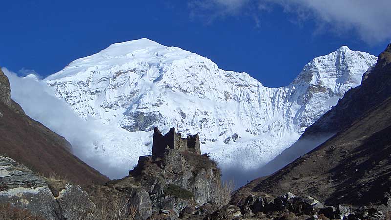
Walk up along the Pachu (Paro River), pass a small army outpost where the valley begins to widen again. You can now clearly view the high ridges and the snow-capped mountains all around and also see the yaks and the yak herder’s winter homes. Camp beneath a ruined fortress at the base of the Jumolhari Mountain. Overnight Camp.
Day 6 Rest day in Jangothang (Base Camp)
Today is a rest and acclimatization for the next day’s highest climb on this trek. You will hike to explore nearby mountains and lakes.
Day 7 Jangothang–Lingshi
18KM / 6-7 HOURS / 840M ASCENT 870M DESCENT
Walk up toward the pass through a wide pastureland. Depending on the season you are there, you might find some yak herders in their camping tents along the way. As you come down after the pass to the Lingshi basin, you will see some beautiful views of the Lingshi Dzong, valley, Tserim Kang (mountain) and its descending glaciers at the north end of the valley. Camp in a stone shelter with a built-in fire pit or in the tent.
Day 8 Lingshi–Chebisa
10KM / 5-6 HOURS / 280M ASCENT 410M DESCENT
Today is the shortest walking day and you can really take it easy. On reaching the campsite at Chebisa, you can visit the village houses if you feel up to it. Overnight camp.
Day 9 Chebisa-Shomuthang
17KM / 6-7 HOURS / 890M ASCENT 540M DESCENT
You will walk through a wide pastureland towards Gobu-la (pass). On the way, you will see few people herding the yaks. After crossing the Gobu -la (Alt. 4350m) descend down to the valley. The campsite is on a bench above a river, which is a tributary of the Nochu river.
Day 10 Shomuthang–Robluthang
18KM / 5-7 HOURS / 700M ASCENT 760M DESCENT
As the walk is little strenuous, it is advisable to start little early. After crossing the Jerela (pass) alt. 4600m you come down to Tsharijathang valley where you can normally see herds of Takins. Camp at Tsharijathang.
Day 11 Robluthang–Lingmithang
19KM / 6-7 HOURS / 850M ASCENT 870M DESCENT
After crossing the Shingela pass, alt. 4900m, you come down and follow the valley. Lingmithang is under the Laya District and you will see people dressed in typical Laya costume with long pointed bamboo hats on their head. Camp at Lingmethang.Â
Day 12 Lingmithang–Laya
10KM / 4-5 HOURS / 60M ASCENT 340M DESCENT Today, you walk all the way downhill along a narrow winding river valley. The trail leads you to the west side of Laya village. Campsite is on a high flat bench above the Laya village.
Day 13 Rest day in Laya
A day of rest and relaxation. One can take a leisurely walk through the village or hike to the monastery above the village. Overnight in camp.
Day 14 Laya-Rodophu
19KM / 7-8 HOURS / 3010M ASCENT 70M DESCENT
The trail today follows the ancient trade route and leads one through pasture for yaks. Overnight in camp.
Day 15 Rodophu-Narithang
17KM / 5-6 HOURS / 720M ASCENT
The trail today also follows the alpine grassland where yaks bound in plenty. The views of the surrounding mountains are absolutely breathtaking. Overnight in camp.
Day 16 Narithang-Tarina
18KM / 7-8 HOURS / 270M ASCENT 1200M DESCENT
Distance: 18km. Trek Time: 6-7 hours. Altitude of camp: 4300m.
Today you will be crossing the highest point of your trek at the Ganglakarchung Pass at an altitude of 5100m. This is considered the highest pass in the country. Overnight in camp.
Day 17 Tarina-Woche
17KM / 6-7 HOURS / 275M ASCENT 330M DESCENT
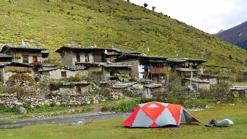
The camp site marks the beginning of the Lunana region, a land known for it’s glacial lakes which brought the heavy flood in Punakha a few years ago. If you are not too tired, visit a village house.
Day 18 Woche-Lhedi
17KM / 6-7 HOURS / 980M ASCENT 950M DESCENT
The trail today consists of crossing the Kechela Pass at 4550m. Stop at the Thega village for rest and lunch, then continue to camp.
Day 19 Lhedi-Thanza
17KM / 4-5 HOURS / 400M ASCENT
The trek is slightly easy today. Enroute visit the Chezo Dzong.
Day 20 Rest day in Thanza
Rest day explore village and glacial lakes up the valley. The closest is the Raphstreng Tsho which caused a flood in 1994. Overnight in camp.
Day 21 Thanza-Tshochena
12KM / 5-6 HOURS / 490M ASCENT 240M DESCENT Another beautiful pass to cross today, namely, the Jezela pass at an altitude of 5050m.
Day 22 Tshochena-Jichu Dramo
14KM / 4-5 HOURS / 230M ASCENT 140M DESCENT A relatively shorter walking day, after crossing the Lojula Pass at 4940m, the trek is easy.
Day 23 Jichu Dramo-Chukarpo
80KM / 5-6 HOURS / 320M ASCENT 730M DESCENT
The trail crosses the Rinchen Zoe pass at 4950m. The demarcation between the forests and the barren high altitude areas are remarkably seen from here.
Day 24 Chhukarpo-Tampetsho
18KM / 5-6 HOURS / 400M ASCENT 640M DESCENT
The trail crosses the Tampela Pass (4550m) and the Umtsho Lake famous for the miraculous treasure discovery by Terton Pema Lingpa in the 15th century.
Day 25 Tampetsho-Maraothang
14KM / 5 HOURS / 280M ASCENT 1020M DESCENT
The trail today is downhill till the camp which is beside the Nika Chhu river.
Day 26 Maraothang-Nika Chhu Zam (Trek ends)
18KM / 5-6 HOURS / 990M DESCENT
The last day of the trek takes you through the agricultural lands and the village of Sephu. Overnight camp.
Day 27 Nikachu-Punakha
After breakfast, you will drive to Punakha. Along the way visit the typical Bhutanese town of Wangdue with its dramatic Dzong perched on a ridge at the bend of a river. The nearby villages are known for their slate and stone carvings. Overnight Hotel in Punakha.
Day 28 Punakha-Thimphu
In the morning, you will visit Punakha Dzong, which is stunningly situated in between the male and female rivers like an anchored ship. Then drive to Thimphu via Dochula pass. On the way, you will stop at Metshina Village and take a 20-minute walk through the rice fields to Chimi Lhakhang, which is a fertility temple dedicated to the Devine Madman or Lama Drukpa Kuenley. If you wish, receive the blessing from the Lama’s wooden phallus! Check into hotel on arrival. Overnight Hotel in Thimphu.Â
Day 29 Thimphu
After breakfast, you will visit Memorial Chorten (built in memory of the third King of Bhutan who reigned from 1952-1972), Changgangkha Monastery, nunnery temple, traditional paper factory and the majestic Tashichodzong. After a relaxing lunch, you will catch a busy weekend market at the bank of Thimphu River where people from nearby villages come here to sell their farm products. You can stroll through the market to see the variety of food of the country, including basket upon basket of fiery chilies, fresh cheese, and mangoes. In addition, many stalls contain Bhutanese handicrafts and household items. It's fun to wander the aisle, taking in the bustling atmosphere of the market. Perhaps this market scene offers wonderful opportunity for photographs and to mingle with local people. In the evening, you can stroll through Thimphu town and absorb the life style of the people. Overnight hotel in Thimphu.
Day 30 Paro departure
After breakfast, you will drive to the airport for departure.
Make Your Trip Now
Get More Packages
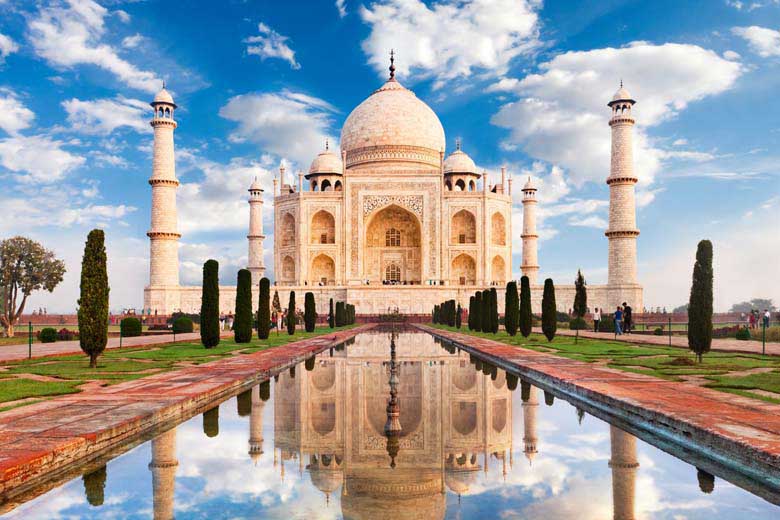
Golden Triangle Vacation Tour
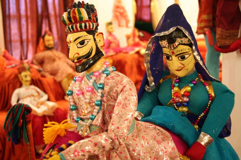
Rajasthan colorful Tour
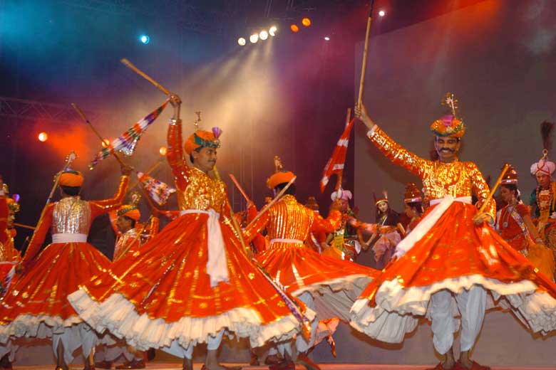
Rajasthan Cultural Tour
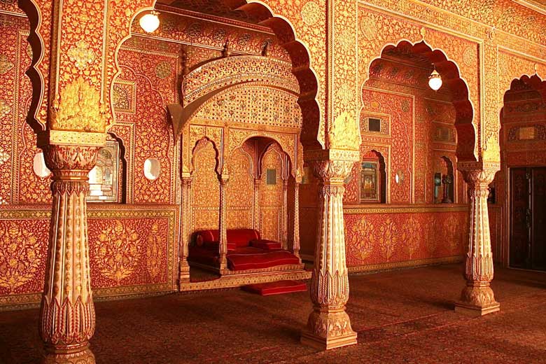
Rajasthan Fort & Palace Tour
Rajasthan Heritage Tour
Rajasthan Wildlife Tour
MOST POPULAR PACKAGES

6 Nights / 7 Days
Golden Triangle Vacation Tour
India’s golden triangle is a tourist circuit which includes: Delhi, Agra (including the Taj Mahal), and Jaipur. These trips usually 7 days and do the trip as a circuit starting and ending in Delhi.
View Package
16 Nights / 17 Days
Rajasthan colorful Tour
Coloruful Rajasthan Tour is one of the most popular circuit of India. This tour package accommodates you to endure Rajasthan in all its different colors.
View Package
10 Nights / 11 Days
Rajasthan Cultural Tour
The Rajasthan state represents an unusual diversity in all its forms - people, culture, customs, costumes, cuisine, dialects and music and haveli's.
View Package
12 Nights / 13 Days
Rajasthan Fort & Palace Tour
Rajasthan is famous all over the world for its stunning forts and palaces that have been gloriously standing since decades in this princely state.
View Package
11 Nights / 12 Days
Rajasthan Heritage Tour
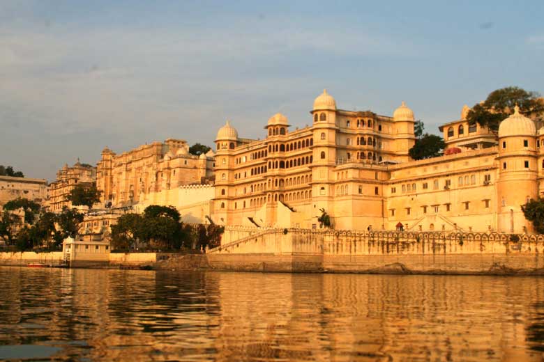
Rajasthan known as the "land of kings"provides some marvelous marks from the history in the form of its forts, palaces, mansions and haveli's.
View Package
06 Nights / 07 Days
Rajasthan Wildlife Tour
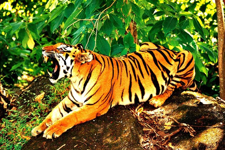
The name Rajasthan has a habit of invoking the images of sun-bathed sand dunes of the Thar Desert, the rustic turban and mustache of Rajasthani men and women’s ghagra.
View Package
 Gujarat Toursim
 IATO -
Indian Association of Tour Operators
 +91-9811175768